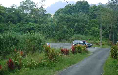
The Ulu Langat Road ends at the Mini Hydro power station of Pangsoon. Stage buses use this compound as their last terminal. This road through its compound continues to reach the Ulu Langat Dam. Going beyond the station, the road goes through poorly attended orchards for about half a kilometer. At the next landmark, there is a fork where the left branch [1 km] heads for the mid hill pump station and the right [ 400 m] leads to the Dam and offices of the Forestry Department.
Visitors are not allowed to enter the compound of the Ulu Langat Dam. The scene at the end of the road? Before the gate, on the right, picnic spots from the Pangsoon River rapids . Besides the gate, a left turn off to this car park. Behind the car park are chalets for rental to the public and offices of the Forestry Department. An Officer is available on a 24 hours basis and register your entry to the Forest Reserve. There is no fee charged.
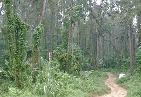
You will begin your walk on through this pine forest, at first on level ground.
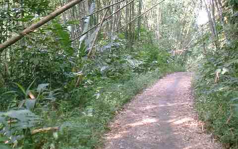
After that straight path, the climb starts. The track is broad and solid enough for 4X4 vehicles and light trunks to the waterfall area. The nature of road surfaces is hard, surfaces vary from red laterite to remnants of tarred surfaces.
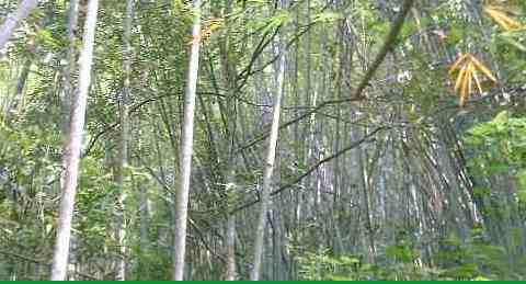
Leaving the pine trees at lower level, the track soon returns to tropical jungle interspersed with beautiful bamboo groves. Overall gradient is tolerable with long stretches of level portions as relief.
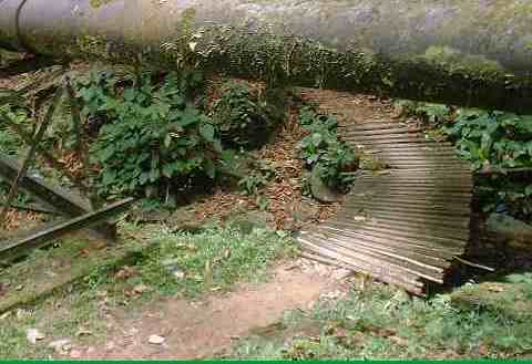
The paved surfaces in the last kilometer is in fairly decent condition. when you hit that landmark , it is a sign that the end of the walk is near. At last, there is a clearing on level ground, wide enough as parking area. The river on your right is going through rapids, hidden within 40 feet deep ravine. The banks are suitable as picnic areas littered with signs of previous patronage. Standing at the paved area, ahead lies boulders and a gigantic steel pipe. Don't be deterred. See that obscure path among the boulders? Proceed below the pipe. Here a wooden bridge will get you over the river without wetting your shoes.
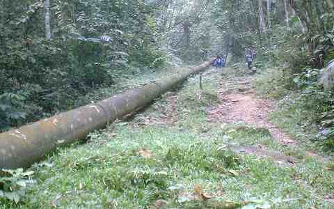
This long and never seem to end pipe comes into view as you ascend a low slope after crossing the river. You will be confused by the existence of another clearer path that forces you to ponder, it is a trail for bikers whose vehicles cannot hike that short slope of 10 feet. Just move ahead following the well trodden trail that runs along the pipe. With steep slopes on the left and a ravine on the right, the trail heads for only one place - the Lolo waterfall and campsites.
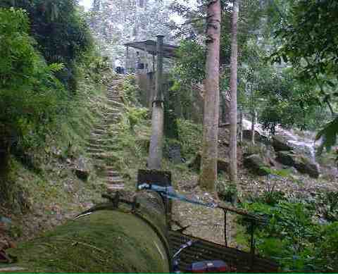
The end of the Lolo trail is marked by that insignificant waterfall, seen as the right edge of this picture. A flight of steps guides you to the water intake station. It is an open shed supplemented with dwelling of the care taker. The campsite lies in the wooded jungles beyond the pump station.
|
